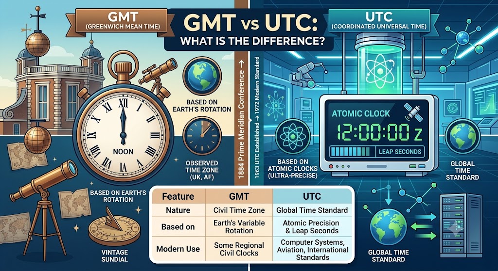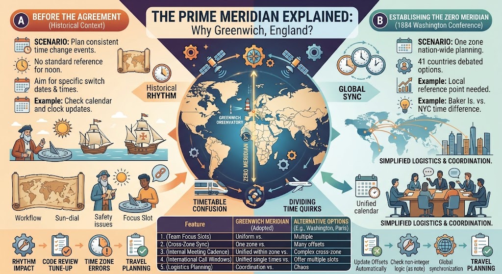
The Prime Meridian Explained: Why Greenwich, England?
Every map, every GPS device, every time zone in the world starts at one invisible line: the Prime Meridian at 0° longitude. It runs through the Royal Observatory in Greenwich, London. But why Greenwich? Why not Paris, Rome, or Jerusalem?
The answer lies in a combination of British maritime power, a popular nautical almanac, and a pragmatic international agreement in 1884 that settled centuries of confusion.
Here is the story of how a suburb of London became the center of the world.
Use the free time zone converter here →
The Short Answer: Why Greenwich?
Greenwich was chosen as the Prime Meridian in October 1884 at the International Meridian Conference in Washington, D.C. . The decision was not based on scientific superiority, but on practical grounds.
| Reason | Explanation |
|---|---|
| Nautical Dominance | By 1884, over two-thirds of all ships and tonnage already used Greenwich as their reference meridian on maps and charts . |
| The Nautical Almanac | The Royal Observatory began publishing The Nautical Almanac in 1766, which established Greenwich longitude as the baseline for time calculations. Its popularity among navigators made it a de facto standard . |
| British Influence | Britain was the world's leading maritime and industrial power in the 19th century, lending weight to its chosen meridian . |
| Pragmatism | The 1884 conference aimed to replace the chaos of over 25 different prime meridians in use worldwide . Greenwich was simply the most practical and widely used option available . |
The vote: The resolution to adopt the Greenwich meridian passed with 22 votes in favor, 1 against (San Domingo, now the Dominican Republic), with France and Brazil abstaining . France continued using the Paris Meridian for several decades after the conference, only officially adopting Greenwich in 1911 .
The Chaos Before Greenwich: A World Without 0°
Before 1884, there was no global standard for longitude. Every major country used its own prime meridian. This was a logistical nightmare for navigation and timekeeping. Cartographers and nations used their own reference points, including Paris, Beijing, Washington, and the Canary Islands, among more than twenty-five different meridians .
The Problem at Sea
Before reliable navigation tools existed, determining longitude at sea was a deadly problem. A famous maritime disaster occurred on October 22, 1707, when a British fleet wrecked on the Scilly Isles because navigators lost their location in a storm and mistook the archipelago for the western entrance to the English Channel. Over 1,400 sailors lost their lives .
This tragedy, among countless others, highlighted the urgent need for accurate maritime navigation and a standardized reference point.
How Greenwich Became the De Facto Standard
The Royal Observatory: Founded for Navigation
The Royal Observatory was founded at Greenwich in 1675 by King Charles II, not for abstract astronomy, but for a specific practical purpose: to improve navigation and solve the "longitude problem" . The observatory was dedicated to mapping the stars so that sailors could determine their position at sea. The Astronomer Royal was tasked with this crucial work .
The Nautical Almanac: A Game Changer
The real turning point came with the publication of The Nautical Almanac and Astronomical Ephemeris in 1766, with data starting from 1767 . This almanac provided sailors with pre-calculated positions of celestial bodies based on the meridian of Greenwich. By comparing these predictions with their local observations, sailors could determine their longitude. Because the British merchant and naval fleets were so vast, the almanac became the most widely used navigation tool on the seas, effectively making Greenwich the default zero point for the world's shipping industry .
Britain's Global Influence
During the 19th century, Great Britain was the world's foremost maritime power and had a vast global empire. The use of Greenwich time on British ships and in British charts influenced global navigation. When countries started laying undersea telegraph cables or building railways, they often adopted the Greenwich meridian to standardize their systems .
The 1884 International Meridian Conference
By the late 19th century, the chaos of multiple meridians was becoming untenable. The expansion of railroads and telegraph networks made a single global standard a necessity. At the request of U.S. President Chester A. Arthur, 41 delegates from 25 nations met in Washington, D.C., in October 1884 for the International Meridian Conference .
The Key Decisions of the Conference
The conference adopted several key resolutions, including:
- A Single Prime Meridian: It is desirable to adopt a single prime meridian for all nations .
- The Greenwich Meridian: The meridian passing through the centre of the transit instrument at the Observatory of Greenwich is adopted as the initial meridian for longitude .
- Counting Longitude: Longitude shall be counted in two directions up to 180 degrees, east longitude being plus and west longitude minus .
- A Universal Day: A universal day is proposed to begin for all the world at the moment of mean midnight of the initial meridian .
Fun Fact: The conference did not adopt any time zones, contrary to popular belief. While Canadian inventor Sandford Fleming proposed standard time zones, other delegates objected, stating it was outside the scope of the meeting .
The Modern Prime Meridian: A Tiny Shift
If you visit the Royal Observatory today, you can stand on the famous stainless steel line marking the Prime Meridian. However, modern GPS systems do not use this exact line.
Why? The Airy Transit Circle at Greenwich was aligned to a local model of the Earth's shape, not the global center of mass. Modern geodetic reference systems, like the World Geodetic System (WGS-84), are fixed to the Earth's gravitational center to provide a single, universal reference for satellite navigation .
Because of this shift to a global datum, the modern Prime Meridian used by GPS is now approximately 102.5 meters east of the brass line at Greenwich . The line you can see on the ground is a historic marker, but the world's digital compasses now point to a slightly different zero point.
Frequently Asked Questions
Why is the Prime Meridian in Greenwich, England?
Greenwich was chosen because by 1884, more than two-thirds of the world's ships and tonnage already used it as their reference meridian, thanks to the popularity of the Royal Observatory's Nautical Almanac .
When was Greenwich chosen as the Prime Meridian?
It was officially adopted on October 22, 1884, by the International Meridian Conference in Washington, D.C. .
Was there a vote at the 1884 conference?
Yes. The resolution to adopt Greenwich passed 22–1. France and Brazil abstained .
Did the 1884 conference create time zones?
No. The conference established the Prime Meridian and a universal day. Time zones were not adopted .
Where exactly does the Prime Meridian run?
It runs through the center of the Airy Transit Circle at the Royal Observatory in Greenwich, London .
Is the Prime Meridian at Greenwich still the exact 0° line?
The historic line is still marked at Greenwich. However, modern GPS uses a slightly different prime meridian that is about 102.5 meters (about 335 feet) east of the brass strip .
What other meridians were used before Greenwich?
More than 25 different prime meridians were used globally, including Paris, Beijing, Washington, D.C., and the Canary Islands .
What is the Airy Transit Circle?
A telescope at the Royal Observatory designed by George Biddell Airy. Its center was designated as 0° longitude in 1851 and adopted by the 1884 conference .
Final Thoughts
The choice of Greenwich as the Prime Meridian was not a grand scientific discovery, but a practical decision shaped by history, commerce, and British naval power. It solved a global coordination problem by picking the most popular existing standard.
Three things to remember:
- Navigation was the driver: The search for longitude at sea drove the need for a standard reference point .
- Practicality won: Greenwich was chosen because it was already the most widely used meridian by sailors .
- History in stone and code: While the physical line at Greenwich marks history, modern GPS has shifted the true 0° longitude by about 100 meters .
Check time zone conversions instantly → /timezone-converter
Tags: Prime Meridian, Greenwich Meridian, why Greenwich is prime meridian, International Meridian Conference 1884, Royal Observatory Greenwich, 0 degrees longitude, longitude history, Greenwich Mean Time, prime meridian explained, why prime meridian is in Greenwich, Airy Transit Circle, navigation history, maritime Greenwich