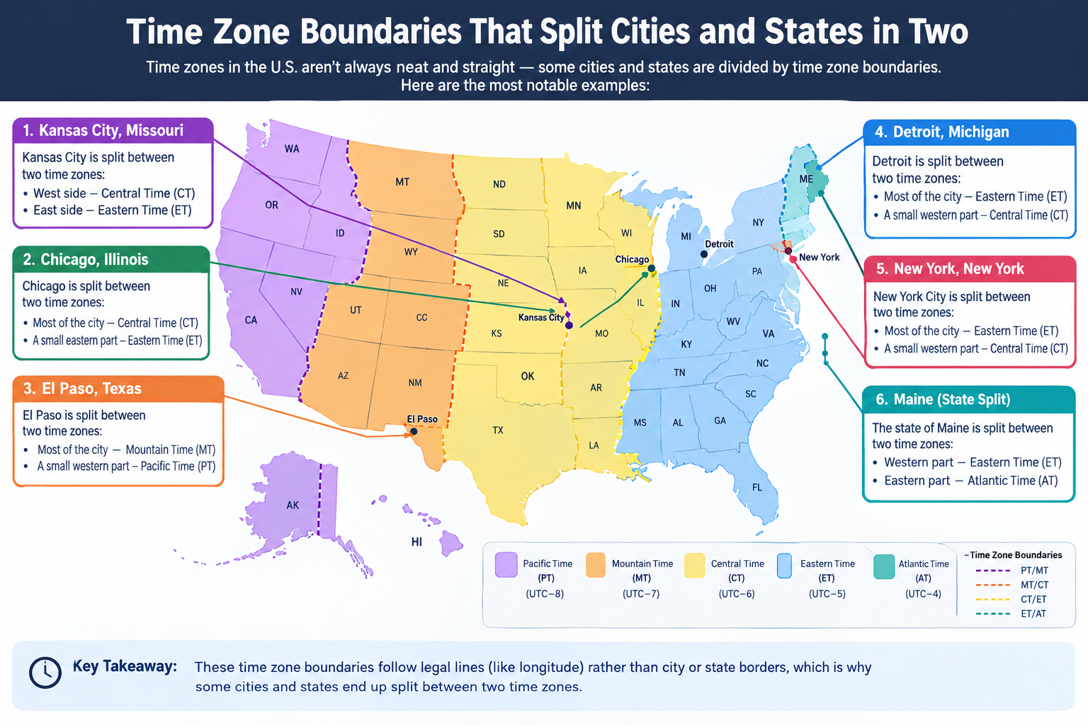
Time Zone Boundaries That Split Cities and States in Two
Time zone boundaries are rarely drawn along neat state lines. In some places, they cut directly through cities, counties, and even single communities, forcing residents who live just minutes apart to operate on different clocks. This creates a unique set of logistical quirks and local adaptations.
Use the free time zone converter here →
The Short Answer: Why Boundaries Split Places
Time zone boundaries follow political and economic convenience, not geography. This means they sometimes divide cities, counties, and communities.
| Aspect | Details |
|---|---|
| Why it happens | Boundaries follow economic ties, not geography |
| Most common split | Counties divided between two time zones |
| Rare case | Cities officially split by a boundary |
| US counties split | Nine counties are divided by time zones |
| Famous examples | Fort Pierre, Lloydminster, Indiana |
| Key issue | Daily coordination across an invisible line |
| Practical result | Many places unofficially observe one time |
Cities Split in Two
The most direct way to experience a time zone boundary is to live in a city that straddles one. This situation is rarer than you might think, as most municipalities try to observe a single time for simplicity.
Fort Pierre, South Dakota
Fort Pierre is a classic example. According to federal regulations, the boundary line between the Central and Mountain time zones actually bisects the city.
| Aspect | Details |
|---|---|
| Location | South Dakota, USA |
| Official split | Central / Mountain |
| Practical time | Central Time (whole city) |
| Why unified | Neighboring Pierre uses Central Time |
| Issue | Business coordination across the river |
The southern half falls officially in Central Time, while the northern half is in Mountain Time. Despite this official split, the entire city observes Central Time in practice, because the neighboring city of Pierre (just across the Missouri River) operates on Central Time, and doing business together would otherwise be confusing.
Lloydminster, Canada
Lloydminster presents a different kind of split. This city sits directly on the provincial border between Alberta and Saskatchewan, making it the country's only "border city" with a single municipal government incorporated in both provinces.
| Aspect | Details |
|---|---|
| Location | Alberta / Saskatchewan border |
| Provinces | Two (unique in Canada) |
| Time issue | Saskatchewan has no DST, Alberta does |
| Practical time | Follows Alberta (Mountain Time) |
| Result | Saskatchewan side does not change clocks with rest of province |
The time zone complication arises because Saskatchewan does not observe daylight saving time, while Alberta does. To keep the city unified, the entire municipality — including the Saskatchewan side — follows Alberta's time, which means clocks in Lloydminster don't change when the rest of Saskatchewan does.
Counties Divided by Time
While fully split cities are rare, dozens of counties across the United States are bisected by time zone boundaries.
The Nine Split Counties
The National Weather Service notes that nine counties are divided by a time zone line.
| State | County | Time Zones |
|---|---|---|
| Florida | Gulf | Eastern / Central |
| Idaho | Idaho | Pacific / Mountain |
| North Dakota | McKenzie | Mountain / Central |
| North Dakota | Dunn | Mountain / Central |
| North Dakota | Sioux | Mountain / Central |
| Nebraska | Cherry | Mountain / Central |
| Oregon | Malheur | Pacific / Mountain |
| South Dakota | Stanley | Mountain / Central |
| Texas | Culberson | Mountain / Central |
Stanley County, South Dakota
Stanley County (which contains Fort Pierre) is a prime example. The boundary line runs diagonally through the county, placing the northern portion in Mountain Time and the southern portion in Central Time.
| Aspect | Details |
|---|---|
| State | South Dakota |
| County seat | Fort Pierre |
| Split | Northern Mountain / Southern Central |
| Boundary | Diagonal line through county |
| Practical effect | Residents coordinate across zones daily |
Sioux County, North Dakota
Sioux County is split, with the western part of the county observing Mountain Time and the eastern part on Central Time.
| Aspect | Details |
|---|---|
| State | North Dakota |
| Split | Western Mountain / Eastern Central |
| Issue | Rural residents cross zones for services |
Idaho County, Idaho
Idaho County has a boundary that separates the northern and southern portions of the county into different time zones, though the exact dividing line (sometimes cited as the Salmon River) has been a matter of some confusion even within time zone databases.
| Aspect | Details |
|---|---|
| State | Idaho |
| Split | Northern Pacific / Southern Mountain |
| Boundary | Salmon River (disputed) |
| Issue | Confusion in databases |
International and State Borders
Time zone boundaries often follow international or state borders, creating adjacent communities that live an hour apart.
Karesuando and Karesuvanto
Karesuando and Karesuvanto are twin towns on the Sweden-Finland border.
| Aspect | Details |
|---|---|
| Countries | Sweden / Finland |
| Time difference | 1 hour |
| Finland | UTC+02:00 |
| Sweden | UTC+01:00 |
| Fun fact | Celebrate New Year twice |
Finland is two hours ahead of Greenwich Mean Time, while Sweden is only one hour ahead. This means you can celebrate New Year's Eve on the Finnish side of the river and then walk across the bridge to relive the last hour of the previous year in Sweden.
Badajoz, Spain and Elvas, Portugal
Badajoz, Spain and Elvas, Portugal sit just nine miles apart, but Portugal operates an hour behind Spain.
| Aspect | Details |
|---|---|
| Countries | Spain / Portugal |
| Distance | About 9 miles |
| Time difference | 1 hour |
| Fun fact | Two New Year celebrations |
A traveler can welcome the New Year in Badajoz's Plaza España and then take a short taxi ride west to repeat the celebration in Elvas.
Apalachicola and Port St. Joe, Florida
Apalachicola and Port St. Joe are neighboring towns in different time zones.
| Aspect | Details |
|---|---|
| State | Florida |
| Distance | About 23 miles |
| Apalachicola | Eastern Time |
| Port St. Joe | Central Time |
Apalachicola is in the Eastern Time Zone, while Port St. Joe, just 23 miles west, is in the Central Time Zone.
Arizona Village, Arizona and Needles, California
Arizona Village and Needles sit on opposite banks of the Colorado River, separated by both a state line and a time zone boundary.
| Aspect | Details |
|---|---|
| States | Arizona / California |
| Boundary | Colorado River |
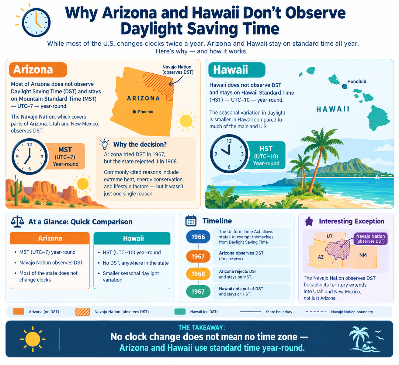
| Arizona | Mountain Time (no DST) |
| California | Pacific Time (DST) |
| Issue | Time difference shifts seasonally |
The Indiana "Islands of Time"
Historically, Indiana was one of the most confusing places in the United States for timekeeping.
The Problem
The state was divided between Eastern and Central time zones, but the boundaries created "islands of time" where small pockets of the state operated on a different time than the surrounding areas.
| Aspect | Details |
|---|---|
| State | Indiana |
| Issue | Islands of time |
| Northwest | Central Time (near Chicago) |
| Southwest | Central Time (near Louisville) |
| Most of state | Eastern Time |
| Complication | DST exemption created 2-hour differences |
The northwest corner of Indiana, near Chicago, observed Central Time to align with the city's economic and cultural connections. The southwest corner, near Louisville, Kentucky, also observed Central Time. Meanwhile, the vast majority of the state was on Eastern Time.
This created a situation where a person driving across the state might have to change their watch multiple times over a short distance.
The situation was further complicated by the fact that the Indiana legislature voted to exempt the state from daylight saving time, while neighboring Illinois and Kentucky observed it. This meant that for part of the year, the time difference between adjacent areas could be two hours instead of one.
Why These Boundaries Persist
These splits are not accidental. They exist because time zone boundaries are ultimately a matter of convenience and political compromise.
| Reason | Explanation |
|---|---|
| Economic ties | Communities align with business hubs |
| Political compromise | Local preferences win over strict geography |
| Historical precedent | Old boundaries are hard to change |
| Federal process | Changes require DOT approval |
| Local identity | Communities resist outside mandates |
Communities often align themselves with the time zone of the larger city or economic hub they do business with, even if that means being on a different clock than the rest of their state or county.
The result is a patchwork of time zones that reflects local priorities rather than strict geographic logic. For travelers, it's a reminder to always double-check the time when crossing a boundary — even if the boundary is just a river or a street.
Quick Reference Card
━━━━━━━━━━━━━━━━━━━━━━━━━━━━━━━━━━━━━━━━━━━━━━━━━━━━━━━━━━
        SPLIT TIME ZONE BOUNDARIES CHEAT SHEET
━━━━━━━━━━━━━━━━━━━━━━━━━━━━━━━━━━━━━━━━━━━━━━━━━━━━━━━━━━

SPLIT CITIES:
  Fort Pierre, SD     → Central / Mountain (practically Central)
  Lloydminster, Canada → Follows Alberta, not Saskatchewan

SPLIT COUNTIES (9 in the US):
  Florida (Gulf)
  Idaho (Idaho)
  North Dakota (McKenzie, Dunn, Sioux)
  Nebraska (Cherry)
  Oregon (Malheur)
  South Dakota (Stanley)
  Texas (Culberson)

BORDER TWINS:
  Karesuando (Sweden) / Karesuvanto (Finland) → 1 hour apart
  Badajoz (Spain) / Elvas (Portugal) → 1 hour apart
  Apalachicola / Port St. Joe (Florida) → 1 hour apart
  Arizona Village (AZ) / Needles (CA) → 1 hour apart

INDIANA:
  Islands of time — Northwest and Southwest on Central,
  rest of state on Eastern. Historically chaotic.

WHY:
  Economic ties, political compromise, historical precedent

━━━━━━━━━━━━━━━━━━━━━━━━━━━━━━━━━━━━━━━━━━━━━━━━━━━━━━━━━━
         Check live conversions at: /timezone-converter
━━━━━━━━━━━━━━━━━━━━━━━━━━━━━━━━━━━━━━━━━━━━━━━━━━━━━━━━━━
Frequently Asked Questions
Which cities are split by time zones?
Fort Pierre, South Dakota is officially split between Central and Mountain time. Lloydminster, Canada straddles Alberta and Saskatchewan, which have different DST rules.
How many US counties are split by time zones?
Nine counties are divided by time zone boundaries: Gulf (Florida), Idaho (Idaho), McKenzie, Dunn, and Sioux (North Dakota), Cherry (Nebraska), Malheur (Oregon), Stanley (South Dakota), and Culberson (Texas).
Why does Fort Pierre observe one time if it is officially split?
Fort Pierre observes Central Time in practice because neighboring Pierre, across the river, uses Central Time. Business and daily life would be confusing otherwise.
What is special about Lloydminster?
Lloydminster is the only Canadian city incorporated in two provinces. It follows Alberta's time, so the Saskatchewan side does not change clocks with the rest of Saskatchewan.
Can you celebrate New Year twice because of time zones?
Yes. Twin towns like Karesuando (Sweden) and Karesuvanto (Finland), or Badajoz (Spain) and Elvas (Portugal), are an hour apart, so you can celebrate twice.
Why was Indiana so confusing for time?
Indiana had islands of Central Time in a mostly Eastern Time state, and a DST exemption created two-hour differences with neighboring states for part of the year.
Why do time zone boundaries split places?
Boundaries follow economic ties and political compromises, not geography. Communities often align with the larger city they do business with.
Can time zone boundaries change?
Yes. The US Department of Transportation can change boundaries, usually at the request of local communities. Changes are infrequent but do happen.
Final Thoughts
Time zone boundaries are human inventions, and humans are messy. They follow economics, history, and local preference — not straight lines on a map. The result is a world where a river, a street, or a county line can separate two different times.
Three things to remember:
- Cities and counties can be split. Fort Pierre, Lloydminster, and nine US counties prove it
- Practical time often wins. Many places unofficially observe one zone
- Always double-check. Crossing a boundary can mean an hour difference
Check time zone conversions instantly → /timezone-converter
Tags: time zone boundaries, cities split by time zones, Fort Pierre South Dakota time zone, Lloydminster time zone, Indiana time zones, counties divided by time zones, Karesuando Karesuvanto, Badajoz Elvas time, Apalachicola Port St Joe, time zone converter